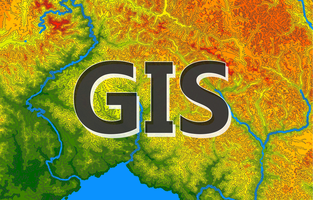
Advanced GIS Techniques and Spatial Analysis

About Course
Explore the fascinating world of Geographic Information Systems (GIS) in our comprehensive course on Advanced GIS Techniques and Spatial Analysis. This course delves deep into the key concepts and practical applications of GIS, empowering you with the skills to handle geospatial data effectively and make informed decisions using spatial information.
Course Content
Section 1 Georefencing and Toposheet
-
How to connect your drive
05:39 -
How to connect your folder
03:48 -
How to download Toposheet
10:32 -
How to Geo-referencing your Toposheet
11:24 -
How to find out your UTN Zone in ArcMap
07:53 -
Reprojection Toposheet on UTN Zone
05:18
Section 2 Working with Shapefiles
Section 3 Non-Spatial data and Attributes
Section 4 Point and Lines with data
Section 5 Symbology and Areas
Section 6 Cut shape with another and get inside shape and data
Section 7 Working with Digital Elevation Models
Section 8 Geo-Spatial Analysis and Interpolation Methods
Section 9 Rainfall and Soil Data Handling NetCDF files
Student Ratings & Reviews

No Review Yet