GIS Applications for Water Engineering
About Course
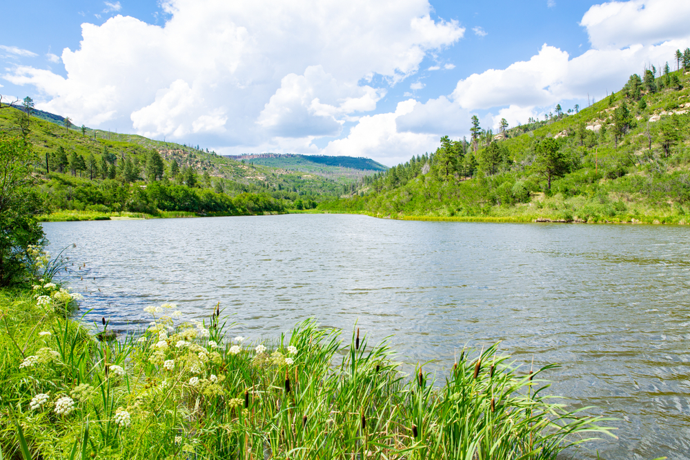
This course provides a comprehensive exploration of Geographic Information Systems (GIS) as applied to water engineering, with a particular focus on watershed and hydrological analysis. Participants will gain a solid foundation in the terminology, techniques, and tools necessary to analyze and manage water resources effectively.
Course Content
Introduction to Hydrology and Watershed
-
Introduction to hydrology and watershed
18:58 -
Basin Watershed and Catchment
11:17 -
Watershed Surface Analysis
09:05 -
Watershed Drainage System
10:47 -
Watershed Stream order and Drainage
08:16
Surface Analysis
Hydrological Tools and drainage
Watershed solar radiation calculation
Reservoir Volume Calculation and Earth Work Spot
GIS Water Sources and Groundwater Mapping
Student Ratings & Reviews

No Review Yet